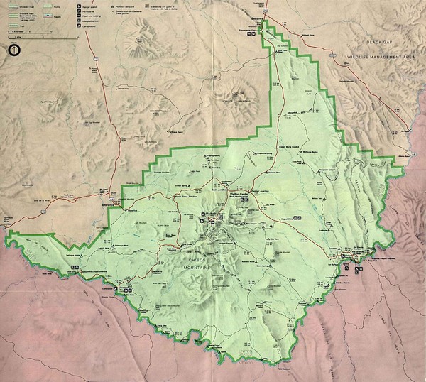
Big Bend National Park Map
near Big Bend National Park, Texas
See more
 See more
Nearby Maps

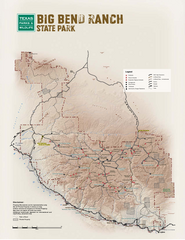
Big Bend, Texas State Park Facility and Trail Map
6 miles away
Near Big Bend, Texas

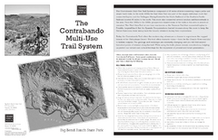
Big Bend Ranch, Texas Contrabando Trail Map
6 miles away
Near Big Bend, Texas

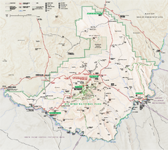
Big Bend National Park map
Official NPS map of Big Bend National Park, Texas. Full-color, shaded relief park map showing all...
7 miles away
Near Big Bend National Park, TX

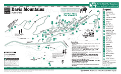
Davis Mountains, Texas State Park Map
108 miles away
Near Davis Mountains, Texas

Balmorhea State Park Facility Map
117 miles away
Near Balmorhea, Texas

 click for
 Fullsize


0 Comments
New comments have been temporarily disabled.