
 Edit this map

Baxter State Park overview map
near Baxter State Park, ME
View Location
Overview map of Baxter State Park. There are 46 mountain peaks and ridges, 18 of which exceed an elevation of 3,000 feet, the highest being Baxter Peak at 5,267 feet. The park maintains about 200 miles of trails.

 See more

Nearby Maps
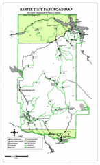
Baxter State Park Road Map
3 miles away
Near Baxter State Park
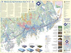
Maine's Ice Age Trail Map
37 miles away
Near Maine
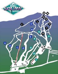
Big Squaw Ski Trail Map
Trail map from Big Squaw, which provides downhill skiing. It has 2 lifts; the longest run is 2253...
52 miles away
Near Maine, United States
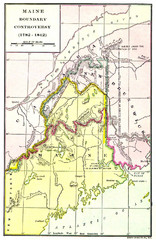
Maine Boundary Controversy 1782-1842 Map
Here you can all the British and American claims and proposals to settle the Maine boundary with...
58 miles away
Near Maine
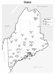
Maine Airports Map
59 miles away
Near Maine

 See more


 Explore Maps
 Map Directory
 click for
 Fullsize


0 Comments
New comments have been temporarily disabled.