Austin Area Highway Map 1940
near Austin, TX
See more


 See more
Nearby Maps

Ramsey Park Map
less than 1 mile away
Near 4301 N. Rosedale Ave. Austin

Bailey Park Map
less than 1 mile away
Near Wabash & 33rd, Austin

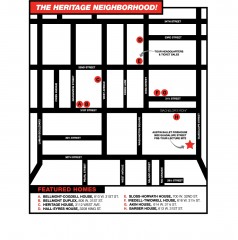
Walking Tour of Historic Austin Map
Walking tour of Austin's historic district in Texas. Shows points of interest and historic...
1 mile away
Near austin, texas

Tarrytown Park Map
1 mile away
Near 2106 Tower Dr. Austin

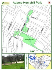
Adams-Hemphill Park Map
1 mile away
Near Hemphill Park Rd

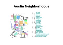
Austin Tx Neighborhoods Map
1 mile away
Near Austin Tx USA

 click for
 Fullsize


0 Comments
New comments have been temporarily disabled.