Armenia & Karabakh Road Map
near Nagorny Karabakh, Armenia
View Location
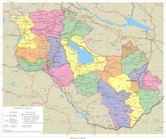
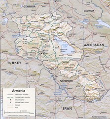
Road-Map of the Republic of Armenia and the Nagorno-Karabakh Republic (Artsakh) in English and Armenian
See more
 See more
Nearby Maps

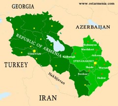
Nagorny Karabakh & Armenia Map
Map of the Nagorno-Karabakh Republic (Artsakh) and the Republic of Armenia
0 miles away
Near Nagorny Karabakh, Armenia

Karabakh & Armenia Map
Map of Armenian states - the Republic of Armenia and the Nagorno-Karabakh Republic
2 miles away
Near Armenia

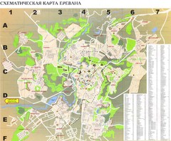
Yerevan Tourist Map
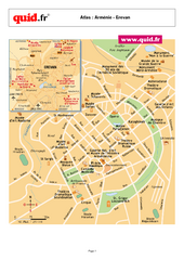
Tourist map of Yerevan, Armenia. Shows streets. In Russian.
2 miles away
Near Yerevan, Armenia

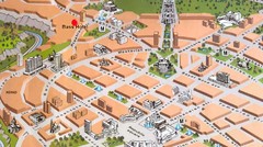
Yerevan Tourist Map
3 miles away
Near Yerevan

Armenia Map
10 miles away
Near Armenia

 click for
 Fullsize


0 Comments
New comments have been temporarily disabled.