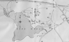
1870s Map of Wellesley College
near Wellesley, Massachusetts
See more
 See more
Nearby Maps

1899 Map of Wellesley College
After College Hall, the original site of Wellesley's faculty, students, classrooms, and...
less than 1 mile away
Near Wellesley, Massachusetts

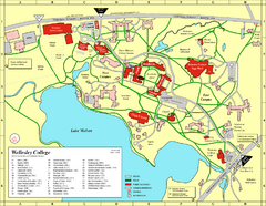
Wellesley College campus map
2008 Wellesley College campus map
less than 1 mile away
Near Wellesley, Massachusetts

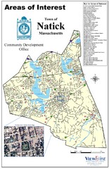
Natick Areas Of Interest Map
Shows points of interest in town of Natick, Massachusetts. Inset of downtown Natick.
2 miles away
Near Natick, Massachusetts

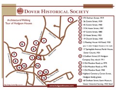
Dover Architectural Walking Map
Architectural walking tour of Hodgson Houses
4 miles away
Near 170 Dedham St, Dover, MA

Cutler Park Reservation trail map
Trail map of Cutler Park Reservation in Massachusetts
6 miles away
Near Cutler Park, ma

 click for
 Fullsize

0 Comments
New comments have been temporarily disabled.