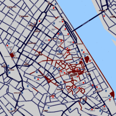
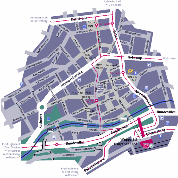
Wuppertal Elberfeld Street Map
near Wuppertal, Germany
View Location
Street map of Elberfeld in Wuppertal, Germany. In German.
Tweet
See an error? Report it.
Keywords
reference, city, germany, elberfeld, freudenberg, where in aue, wolfsholz, bessembruckstrasse, victoriastrasse, victoriastrasse, sadowa strasse, vorwerk&sohn, gmbh, technische, klebebander, mungstener, strabe, 10, 42258, wuppertal See more
 See more
Nearby Maps

Heisingen Map
Detailed map of the city including parking, streets, and hotels.
11 miles away
Near Theodor Heuss Brucke, Germany

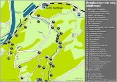
Muttental Bergbauwanderweg Map
11 miles away
Near sprockhövel

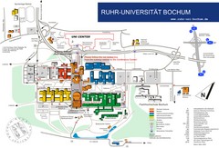
Ruhr-Universitat Campus Map
14 miles away
Near Universitätsstr. 150 Bochum, Germany

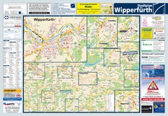
Wipperfuerth Tourist Map
Tourist map of Wipperfuerth and surrounding region
14 miles away
Near Wipperfuerth, Germany

 click for
 Fullsize


0 Comments
New comments have been temporarily disabled.