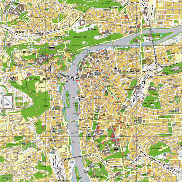
Prague City Center Map
near Prague, Czech Republic
View Location
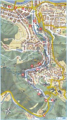
Street map of Prague's city center. Shows tourist points of interest including landmark buildings.
See more
 See more
Nearby Maps

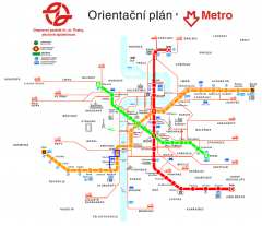
Prague Metro and Strret Car Map
Overview of Prague's metro and bus lines. Date unknown.
less than 1 mile away
Near Prague, CZ

Transportation near Prague Map
Locations and destinations of transportation in and near Prague
less than 1 mile away
Near Near Prague

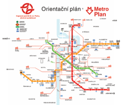
Prague Metro Map
less than 1 mile away
Near Prague

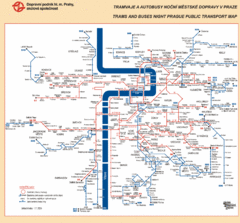
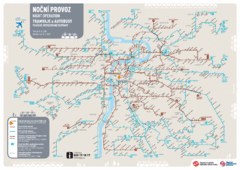
Prague Night Public Bus Tram Map
less than 1 mile away
Near Prague, Czech Republic

Tram Night Operation Map
less than 1 mile away
Near Prague, Czech Republic

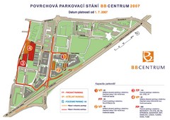
BB Centrum Map (Czech)
BB Centrum is one of the largest and most successful developments in the Czech Republic. This new...
less than 1 mile away
Near Prague, Czech Republic

 click for
 Fullsize


0 Comments
New comments have been temporarily disabled.