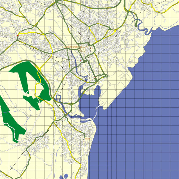
Cardiff Street Map
near Cardiff, Wales
View Location
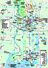
Street map of Cardiff, Wales area.
Tweet
See an error? Report it.
Keywords
reference, city, street, wales, canton, street, ffordd pengam, talybont rd, maindy leisure centre, international arena, caerphilly, schooner way, clignat, st davids hall, beda road.canton, hunter street, splott, fanny, street, cathays, windway, road, windway, road, enbourne, drive, enbourne, drive, pontprennau See more
 See more
Nearby Maps

Cardiff City Map
Tourist map of city center of Cardiff, UK. Shows points of interest
0 miles away
Near Cardiff UK

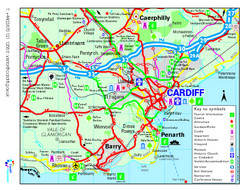
Cardiff Region Tourist Map
Regional tourist map of area surrounding Cardiff, UK. Shows all attractions.
2 miles away
Near Cardiff, UK

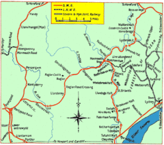
Monmouth and Wye Valley Railways Map
Map showing the 3 major railway lines and the cities with stops of Monmouth, UK.
23 miles away
Near monmouth, uk

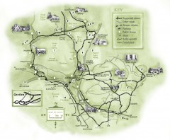
Abergavenny Cycle Map
Shows suggested easy cycling routes, other roads, steeper climbs, parking, public houses, shops...
25 miles away
Near Abergavenny, UK

Bristol City Map
Overview map of city of Bristol. Zooms with details available on original website.
25 miles away
Near Bristol, England

Bristol, England Tree Map
25 miles away
Near Bristol

 click for
 Fullsize


0 Comments
New comments have been temporarily disabled.