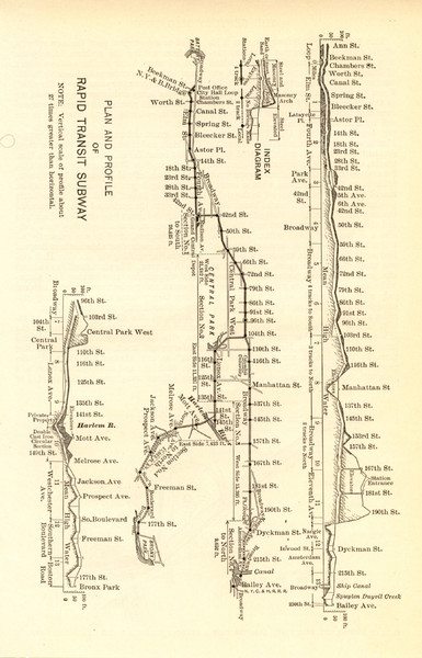
1904 New York City Subway Map
near New York City
See more

 See more
Nearby Maps

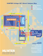
Hunter College Campus Map
Hunter College Campus Map. Located in New York City. Shows all areas.
less than 1 mile away
Near 695 Park Ave, NY, NY 10065

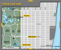
Upper East Side New York Hotel Map
less than 1 mile away
Near Central Park

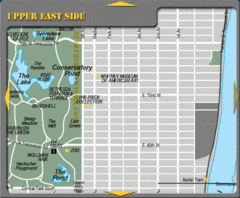
Upper East Side New York Tourist Map
less than 1 mile away
Near Central Park

Topographical Atlas of the City of New York Map
Topographical Atlas of the City of New York including the annexed territory, showing original water...
less than 1 mile away
Near New York, NY

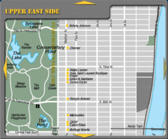
Maison Ave New York City Shopping Map
less than 1 mile away
Near Central Park

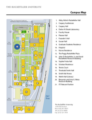
Rockefeller University Campus Map
Campus map of Rockefeller University in New York City.
less than 1 mile away
Near 1230 York Avenue, New York, NY 10065

 click for
 Fullsize


0 Comments
New comments have been temporarily disabled.