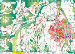
Lindenberg im Allgäu Map
near Lindenberg im Allgäu, Germany
See more
 See more
Nearby Maps

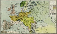
Extinction of France Map 1918
Shows pan-German scheme for the Extinction of France, 1918. As given in "Frankreich's...
12 miles away

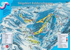
Balderschwang Balderschwang Ski Trail Map
Trail map from Balderschwang.
15 miles away
Near Balderschwang, Bavaria, Germany

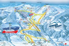
Bolsterlang Ski Trail Map
Trail map from Bolsterlang.
19 miles away
Near Bolsterlang, Bavaria, Germany

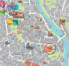
Kempten im Allgäu Tourist Map
Tourist street map of Kempten im Allgäu
22 miles away
Near Kempten im Allgäu, Germany

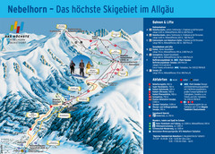
Oberstdorf City Map
City map of Oberstdorf, Germany and surrounding area. Shows buildings and ski lifts. In German.
23 miles away
Near Oberstdorf, Germany

 click for
 Fullsize

0 Comments
New comments have been temporarily disabled.