Kettle Creek State Park Map
near Renovo, PA 17764-9708
See more


 See more
Nearby Maps

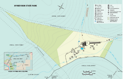
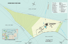
Hyner Run State Park map
Detailed recreation map for Hyner Run State Park in Pennsylvania
14 miles away
Near Hyner, PA 17738-0046

Ole Bull State Park Map
Detailed recreation map of Ole Bull State Park in Pennsylvania
15 miles away
Near Cross Fork, PA 17729-9701

Hyner View State Park map
Detailed map of Hyner View State Park in Pennsylvania
16 miles away
Near Hyner, PA 17738-0046

Bucktail State Park Natural Area map
Detailed map of Bucktail State Park Natural Area in Pennsylvania
21 miles away
Near Emporium, PA 15834

 click for
 Fullsize


0 Comments
New comments have been temporarily disabled.