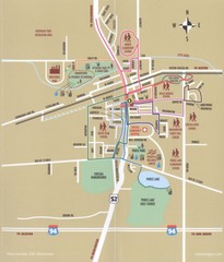
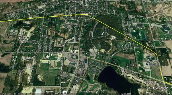
Interurban Track through Chelsea, Michigan Map
View Location
A map of the Detroit, Jackson and Chicago Railway interurban track as it went through Chelsea, Michigan in the early 1900s.
See more
 See more
Nearby Maps

Chelsea MI Map
less than 1 mile away
Near Chelsea, MI

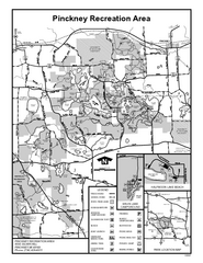
Pinckney State Park, Michigan Site Map
4 miles away
Near Pinckney Recreation Area, Michigan

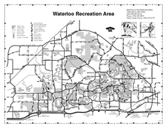
Waterloo State Recreation Area Map
The park is over 20,000 acres and has 4 campgrounds, beaches, picnic areas, 11 fishing lakes...
5 miles away
Near 16345 MCCLURE ROAD, CHELSEA, MI

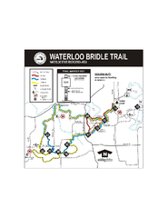
Waterloo State Recreation Area Bridle Trails Map
The Waterloo State Recreation Area has 12 miles of bridle trails and a horse campground.
6 miles away

University of Michigan - Ann Arbor Map
University of Michigan - Ann Arbor, campus map. All buildings shown.
14 miles away
Near Ann Arbor, MI

University of Michigan Map
Campus map
14 miles away
Near University of Michigan, 500 S. State, Ann Arbor...

 click for
 Fullsize

0 Comments
New comments have been temporarily disabled.