Hood Mountain Regional Park Map and Sugarloaf Ridge State Park Map
near Hood Mountain Regional Park, California
View Location
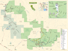
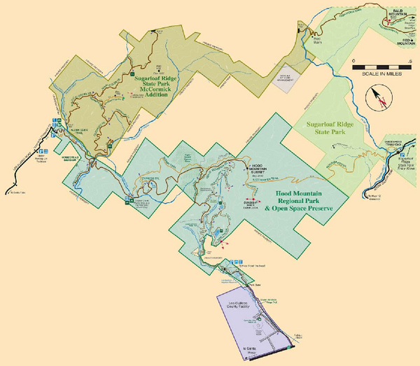
Park map of Hood Mountain Regional Park and Open Space Preserve and Sugarloaf Ridge State Park in Sonoma County, California
See more
 See more
Nearby Maps

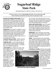
Sugarloaf Ridge State Park Map
Trail map of Sugarloaf Ridge State Park
less than 1 mile away
Near Sugarloaf Ridge State Park, California

Sugarloaf Ridge State Park Campground Map
Map of park with detail of trails and recreation zones
2 miles away
Near 2605 Adobe Canyon Rd, Kenwood, CA

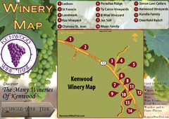
Kenwood Wine Tasting Map
3 miles away
Near Kenwood ca

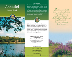
Annadel State Park Map
Map of park with detail of trails and recreation zones
4 miles away
Near 6201 Channel Drive, Santa Rosa, CA

Bothe-Napa Valley State Park Map
Map of park with detail of of trails and recreation zones
6 miles away
Near 3801 St. Helena Hwy, N. Calistoga, CA

Glen Ellen Wine Tasting Map
7 miles away
Near Glen Ellen Ca

 click for
 Fullsize


0 Comments
New comments have been temporarily disabled.