Edit this map

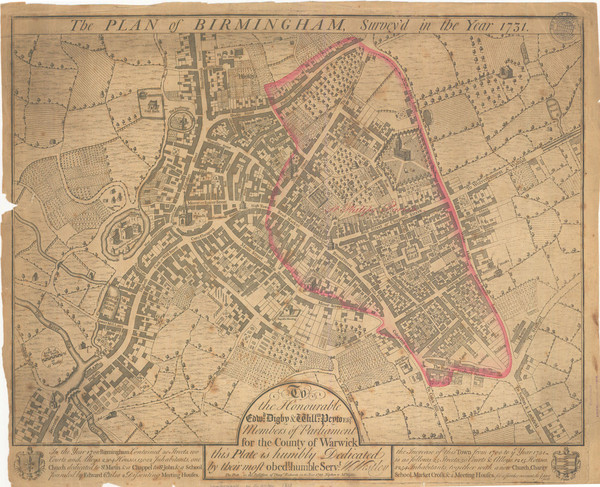
1731 Birmingham Map

near Birmingham, UK

View LocationView Map

52.4830415756785 -1.89007759094238 14 satellite
Nearest Map »  Fullsize
1455 × 1181533 KBJPG

Guide to historic Birmingham, UK

Created 1731 by Westley
From www.gees.bham.ac.uk

megpecaut added
Apr 21, 2009

Rating
no ratings

See an error? Report it.

Keywords

history, britain, united, kingdom

0 Comments

New comments have been temporarily disabled.
See more

Nearby Maps

Birmingham City Map

Birmingham City Map

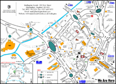
Street map of Birmingham, England. Shows buildings, hospitals, parking, and schools.

less than 1 mile away

rated 3 by 5 people
Near Birmingham, UK
Central Birmingham Map

Central Birmingham Map

less than 1 mile away

Near Birmingham, Paradise Circus
Birmingham Transit Map

Birmingham Transit Map

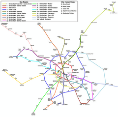
Guide to bus lines in Birmingham, UK

2 miles away

Near Birmingham, UK
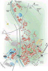
University of Birmingham Map

University of Birmingham Map

Guide to Birmingham University and surrounds

3 miles away

Near Birmingham, UK
Keywords: reference, college, school, uk
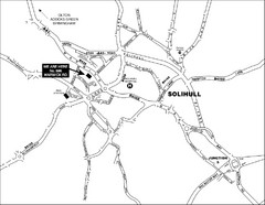
Solihull Town Map

Solihull Town Map

7 miles away

Near Solihull, West Midlands, UK
Palfrey Park Map

Palfrey Park Map

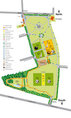
Detail map of Palfrey Park

7 miles away

Near Palfrey Park, UK
See more