Candlestick Point Recreation Area Map
near Candlestick Point, San Francisco, CA
See more


 See more
Nearby Maps

Chevalier map of San Francisco (1912)
Breathtaking map of San Francisco in 1912 by August Chevalier from the BIG Map Blog by way of DRMC.
3 miles away
Near San Francisco

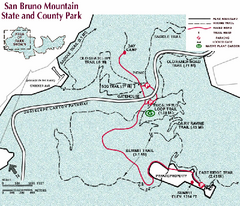
San Bruno Mountain Park Map
Park map of San Bruno Mountain State and County Park. Shows trails in northwest part of park.
3 miles away
Near San Bruno Mountain State and County Park...

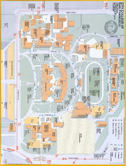
City College of San Francisco - Ocean Campus Map
City College of San Francisco - Ocean Campus Map. All buildings shown.
4 miles away
Near 50 Phelan Ave San Francisco, CA 94112

San Francisco Mission Restaurant Map
4 miles away
Near MIssion District, San Francisco

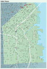
SoMa, Potrero Hill tourist map
Tourist map of SoMa and Potrero Hill in San Francisco
4 miles away
Near potrero, san francisco

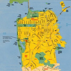
San Francisco City Map
City map of San Francisco with Lowell High School highlighted
4 miles away
Near San Francisco, California

 click for
 Fullsize

0 Comments
New comments have been temporarily disabled.